NASA will study Aysen’s Forests to calculate carbon sequestration
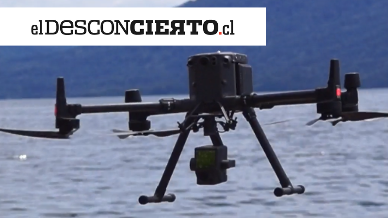
The Chilean company, The Real State, has begun to sponsor a NASA and the University of Maryland's project, which uses a drone that creates detailed computing models over the structure of Patagonian forests and its capacity to sequester carbon from the atmosphere.
NASA is researching Patagonian forests using high technology to know their capacity to sequester carbon from the atmosphere, mitigating climate change effects. Thanks to an alliance with the Chilean company, the project will use this specialized drone to continue.
NASA and the University of Maryland’s project Global Ecosystem Dynamics Investigation (GEDI) generates detailed computing models of the vertical structure of forests and their grounds through laser rays issued from space. This allows the scientists to understand how the water cycle works, the carbon sequestration, and the biodiversity of trees in the zone, among other details.
This project was drawing to a close, and there were still Aysen’s forests left to be monitored; therefore, the Chilean company, The Real Eco State, signed a collaborative agreement with them to offer a drone that generates the same shots in the furthest areas which were not covered by satellites correctly.
NASA will process and add the data from forests around the globe to the worldwide atlas. In the meantime, The Real Eco State will gather information on the importance of conserving Patagonian forests.
The Real Eco State specializes in marketing private land in Patagonia under the Conservation Easement agreement, a legal document whose purpose is to conserve the environmental heritage of private properties through a voluntary and flexible agreement between the owner and the organization that supports and guarantees conservation.
Source: El Desconcierto

